
I love maps. There is such a multitude of interesting and useful information to be found on a map. Maps show context–where one place is relative to another. Maps show how the cartographer views the world or the country or the neighborhood. I live in a town that is set out on a grid pattern: numbered avenues and alleys run east and west; all of the other streets run north and south. You don’t much notice the river while driving or walking around the town’s grid, except when it floods. Driving around town, you would never know that the town is cushioned in a curve of a river. Looking at a map, though, allows you to see not only a curve of the river; you can see why the town was home to several mills–rubber, steel, textile, paper.

Maps give us the view of the universe at the time the maps were made. When I taught Inferno (Ciardi translation), I encouraged my students to place a marker on the notes page where there was a map of the cosmos, a world-view much different from our own (despite those who believe themselves to actually be the center of the universe). In other courses, I gave my students pieces of the Waldseemuller map with the instruction to assemble the pieces and describe what they saw and learned. This is the first of the European maps to identify the Western Hemisphere as a separate continent and the Pacific Ocean as a separate ocean. The map includes a multitude of illustrations and information.

The British Library held an exhibition, Magnificent Maps: Power, Propaganda, and Art, that included cartographic representations from their vast collections. It was a remarkable exhibition that included a 1767 map of the North American colonies on which the name of a neighboring township is identified. One of the themes of the BL exhibit illustrated the extent to which maps represent political power and propaganda. There were maps that revealed the power of a pope and the wealth of nations.
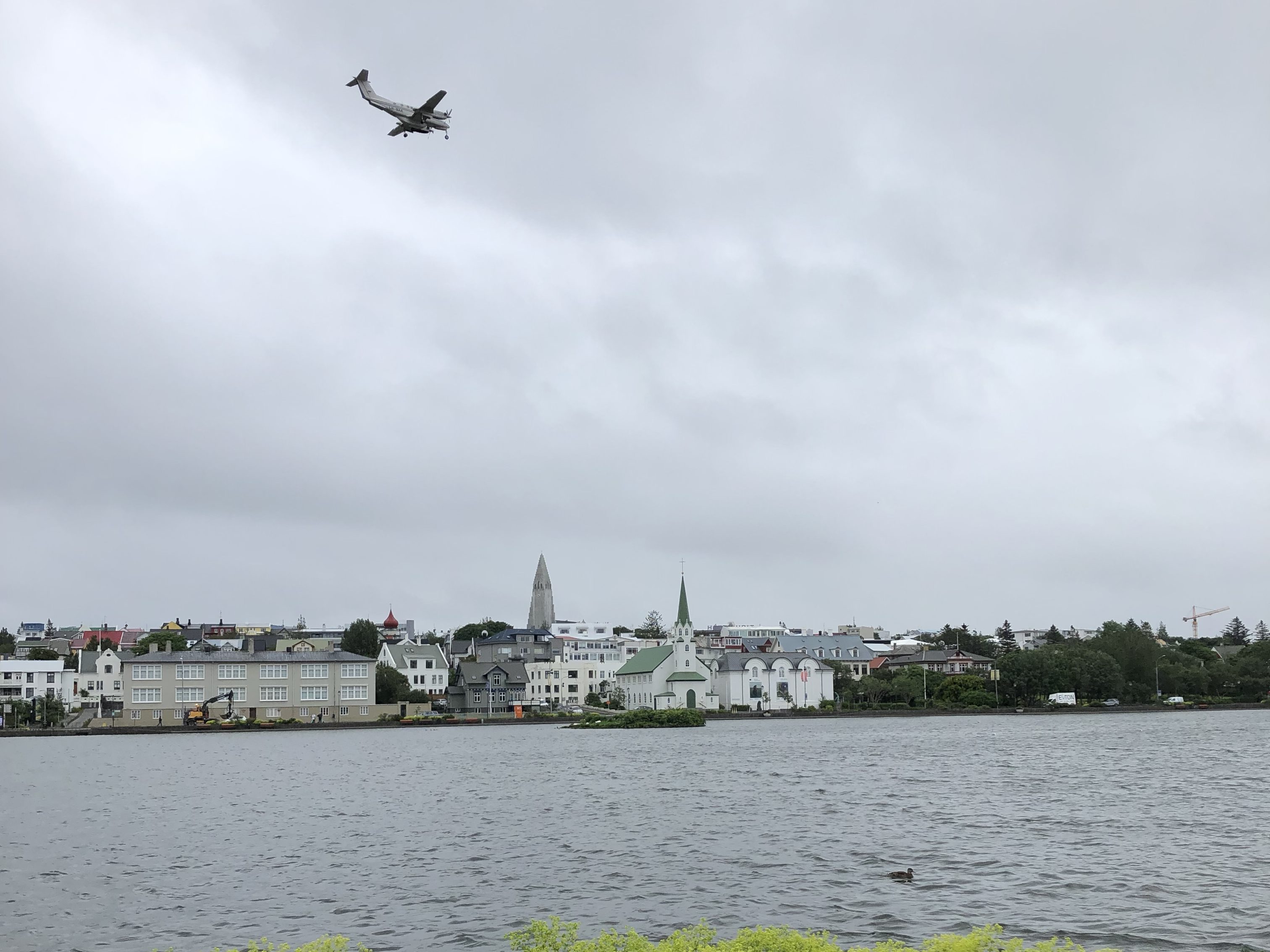
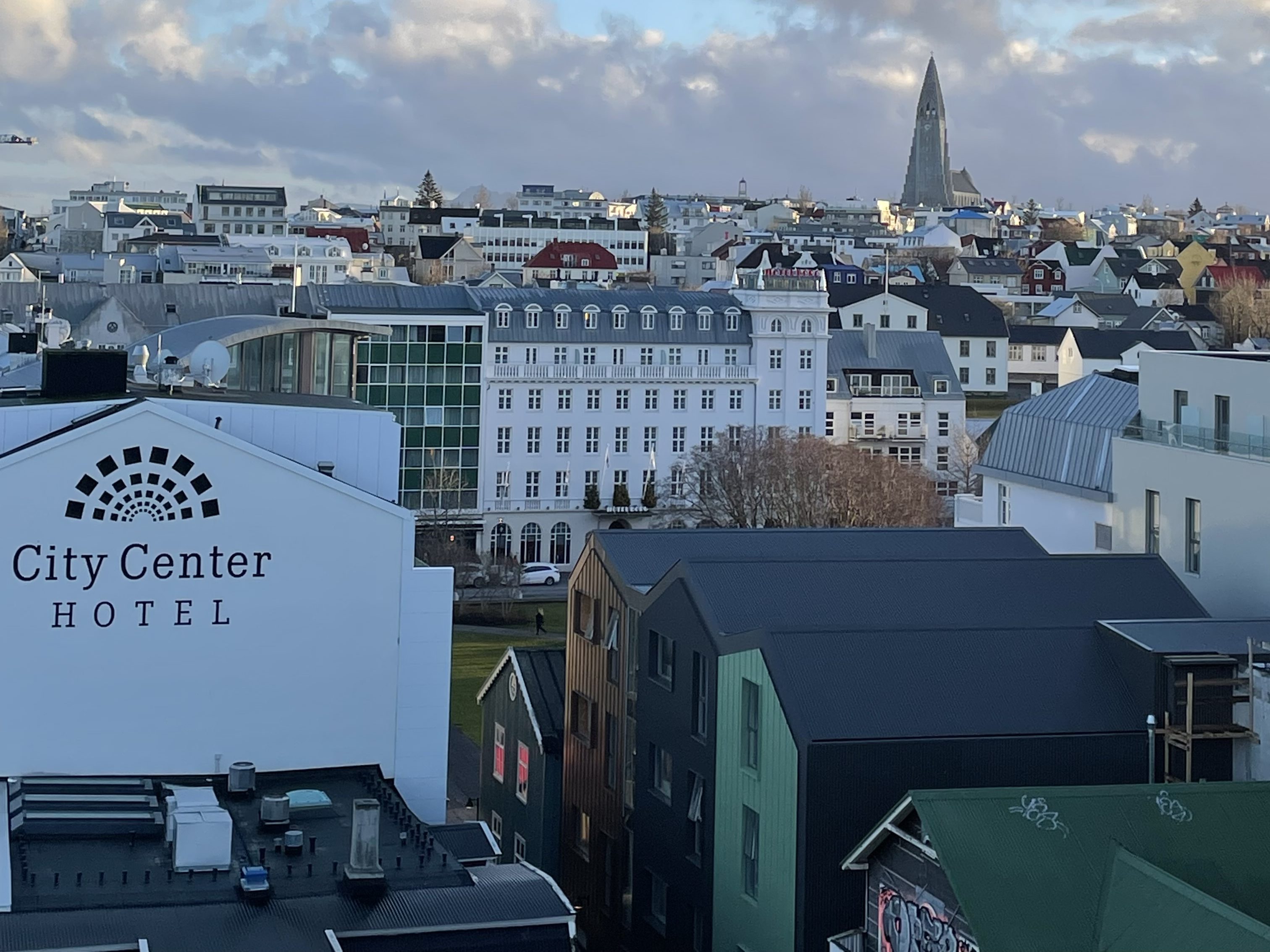
In general, I love maps for the perspectives, artistry, history they provide. I also use maps when I’m reading. When we’re reading the Icelandic novels of Yrsa Sigrudardottir or Arnaldur Indridason, one of our Reykjavik city maps is sitting right alongside so that we can follow along as the protagonists set off around the city and out to the suburbs. Picture of Reykjavik Sarah Moss’ memoir, Names for the Sea: Strangers in Iceland,” describes her year living and working in Iceland with her family. She describes her experiences and the place vividly, but even so, I found it helpful to have that map handy. Arto Paasilinna’s Vatanen wanders all over Finland in The Year of the Hare; tracing his route on a Finnish map allows the reader to experience the many kilometers he racks up evading authorities and an errant ex-wife.
Authors of speculative fiction include maps of the worlds they’re creating. When I read Leigh Bardugo’s Grishaverse novels, I flagged the maps so that I could easily flip back and forth from the narrative to have a sense of where one place was relative to another place. The map that Tolkien provides in The Hobbit is charming to look at and serves as a memory aid for the key events in the novel.
For me, having a map to hand affords me a deeper level of engagement in whatever I’m reading. It may appear a distraction to turn away from the narrative, but if I know where a character is or an event occurs, I am more involved in what I’m reading.
